The ancient lake Velino
and the reclamation of Rieti
and the reclamation of Rieti


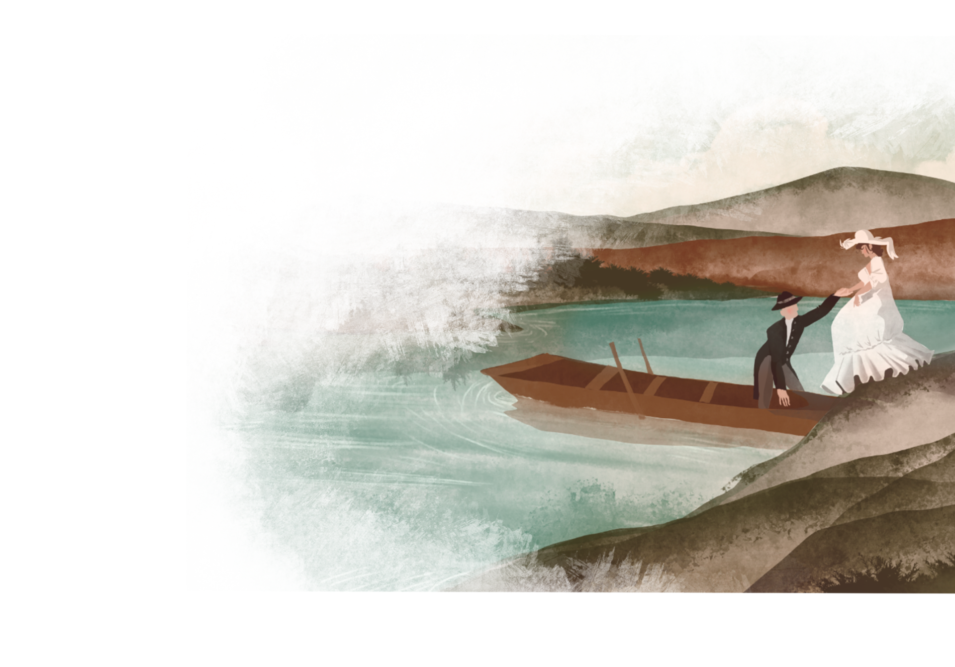
Labro was founded on a hill that bordered with the grand Lake Velino’s basin. It extended all over Rieti’s plain, granting a true nautical link between the towns of Rieti and Piediluco.
Due to the lake’s presence during the Middle Ages, the spread of castletowns on the hilltops was a typical feature of the area. Several landing spots in the area are depicted on the ancient charts, many of which were still used as long as the frequent floods persisted in the region, up until the early years of the Twentieth Century.
The lake granted an outstanding development of a peculiar swamp economy: there were fishermen, crayfishes breeders, ferrymen, reed woodcutters and hemp manufacturers.
The value held by fish and the fishing activity can be testified by the great number of heraldic coat of arms of notable families of Rieti. The coat of arms of the Nobili Vitelleschi from Labro depicts an osprey clutching on a fish by the water. Even the franciscan sources testify the great number of journeys by the lake made by Saint Francis to reach the town of Greccio.
Beginning from the Sixteenth Century a new phase of works to reclaim the countryside and make it suitable for agriculture began, thanks to the will of Pope Paulus III and the interventions achieved by the architect Antonio Sangallo. The Nobili family patronised this project. The problem regarding the frequent floods was still present though.
Until the mid Twentieth Century, the plain flooded to reach its original extention at least twice a year, suddenly and unpredictably, albeit constantly. The townfolk turned into boatmen, the streets into canals and those who could, would keep their flat-bottomed boats in the cellar, while others would prepare a tub that could stay afloat a meter or two on the water. Up until the ‘30s one could traverse the agricutural land of Rieti by lake route.
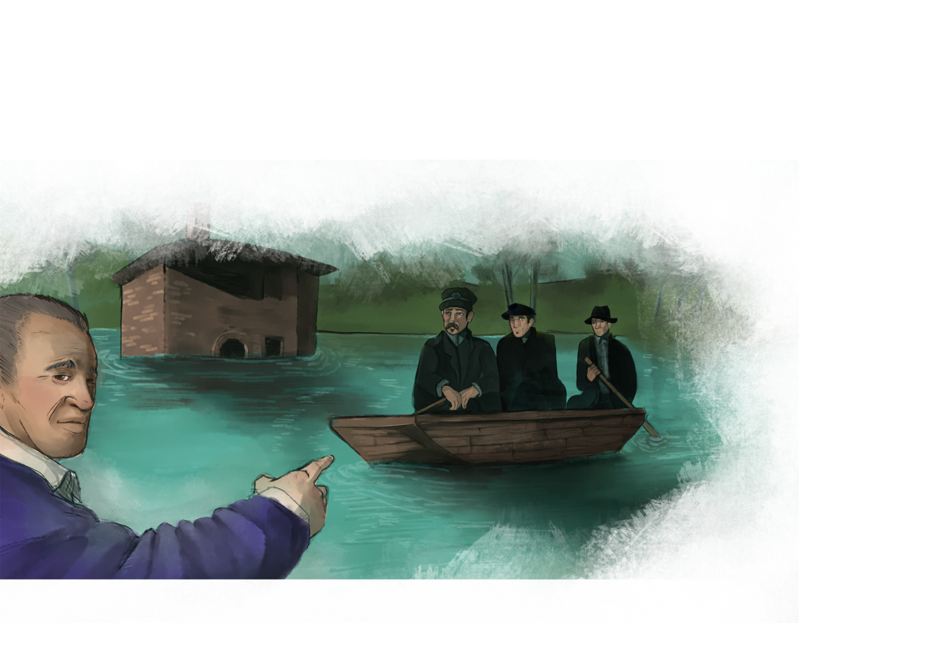
Sisto Formichetti was the last ferryman of Rieti’s Plain. The last route has been performed during the floods in 1958, between Montisola and the train station; this happened when the plain flooded even though the dams on Salto and Turano were working, even though this did not stop the plain from being flooded for the majority of its extention. Then, for another ten years or more, he kept the ferrying activity alive between the southern area of Montisola (St. Maria) and Settecamini, traversing the river Velino with a boat towed by hand thanks to a rope extending both sides of the river banks.
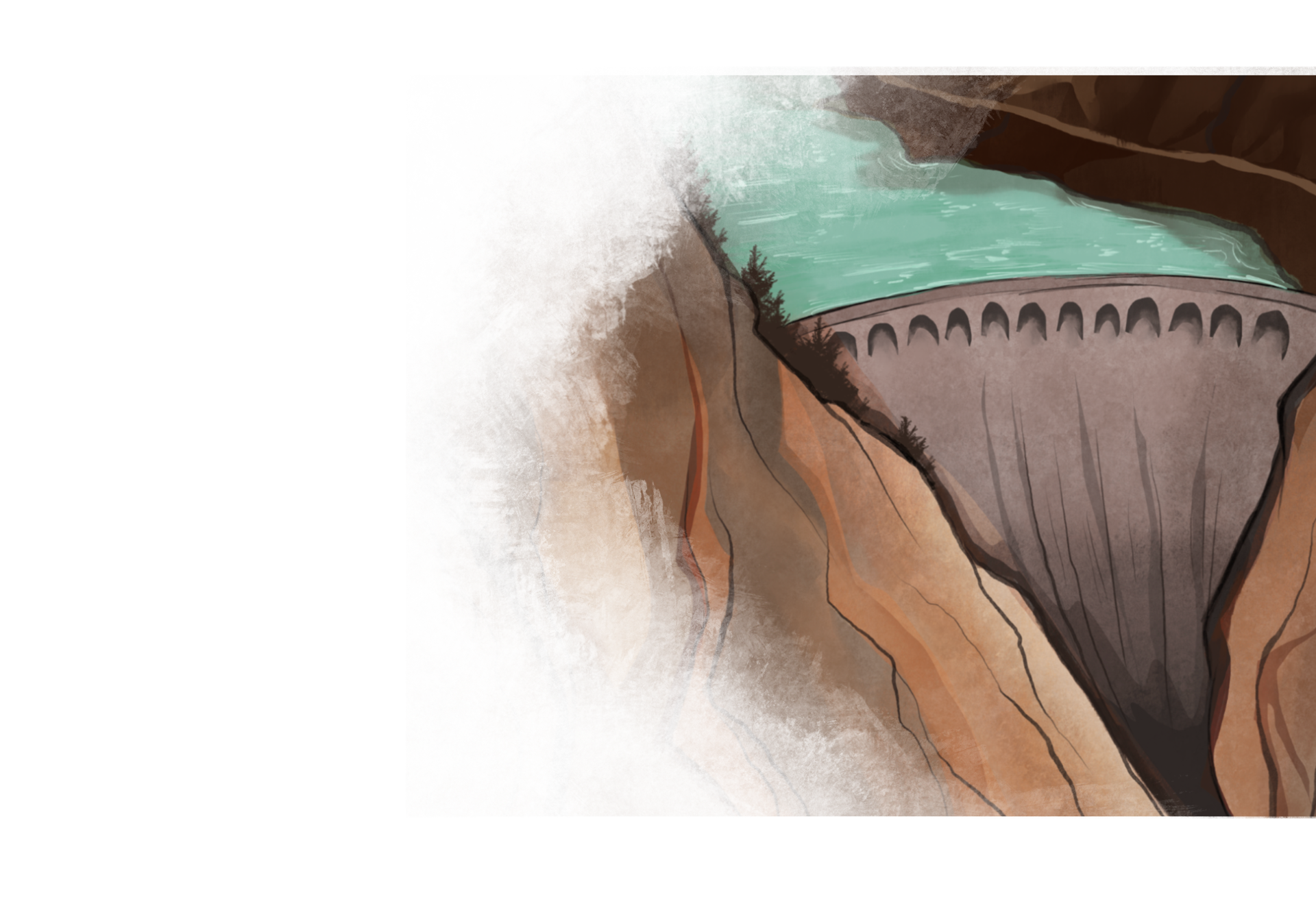
Only by the early years of the ‘30s the first crucial works took place: the Canal of Santa Susanna, the one that granted the chance to reclaim most of the lands reaching north of the plain; then the aqueduct of Peschiera which linked the fountainheads from the Velino Valley to Rome and, above all else, the construction of dams and reservoirs: the one on Turano as a first (with a height of 80 meters) followed by the Salto reservoir (104 meters high).
Once the reclamation was over, the settling in the area, the agriculture, the trade and the movement of people and goods were made all easier albeit at the expense of those who in time grew accustomed to the natural and aquatic shape of the area and had learned to live taking advantage of it, such as fishermen, ferrymen and boatmen.
